- BahasaAfrikaans Argentina Azərbaycanca
Bahasa Indonesia Brasil Brezhoneg
Català Česky Dansk
Deutsch Dhivehi English
English English Español
Esperanto Estonian Euskara
Finnish Français Français
Gaeilge Galego Hrvatski
Íslenska Italiano Latviešu
Lëtzebuergesch Lietuviu Magyar
Malay México Nederlands
Norsk bokmål Norwegian nynorsk Polski
Português Română Slovenšcina
Slovensky Srpski Svenska
Tiếng Việt Türkçe Wolof
Ελληνικά Български Македонски
Монгол Русский Српски
Українська עברית العربية (مصر)
العربية العربية پارسی
कोंकणी বাংলাગુજરાતી
தமிழ் ಕನ್ನಡ ภาษาไทย
ქართული ខ្មែរ 中文 (繁體)
中文 (香港) 日本語 简体中文
한국어
Beranda 17427

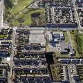 site of Liverpool Crown Street Station aerial photograph
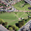 site of Liverpool Crown Street Station aerial photograph
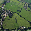 site of Minting Benedictine Priory Lincolnshire from the air
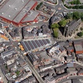 site of Stockport Castle from the air
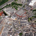 site of Stockport Castle i from the air
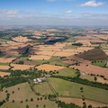 site of the Battle of Bosworth Field from the air
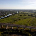 site Salford City Stadium from the air
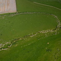 Skelmore Heads univallate Hillfort near Great Urswick Cumbria from the air
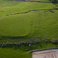 Skelmore Heads univallate Hillfort near Great Urswick Cumbria from the air
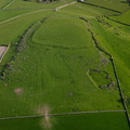 Skelmore Heads univallate Hillfort near Great Urswick Cumbria from the air
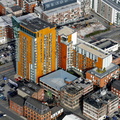 Skyline Central Manchester from the air
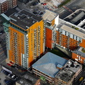 Skyline Central Manchester from the air
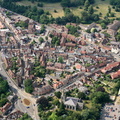 Smith Street Warwick from the air
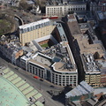 Smithfield Street London EC1A 9LA from the air
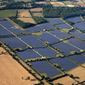 Solar Farm at Redstocks near Melksham aerial photograph
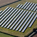 Solar PV Array on Knock Lane, Blisworth near Roade Northamptonshire from the air
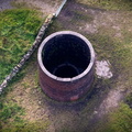 Sough Tunnel vent from the air
 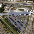 South Parkway Railway Station Liverpool aerial photograph
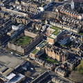 Southside Quarter , Latchmere Street , Battersea Park Road Wandsworth from the air
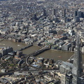 Southwark Londonfrom the air
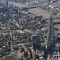 Southwark Londonfrom the air
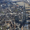 Southwark Londonfrom the air
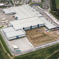 Spar Distribution Preston PR2 from the air
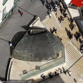 Spiral Cafe Birmingham aerial photograph
 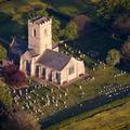 St Andrew church , Paull , Yorkshire aerial photograph
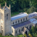 St Andrew's Church Whissendine Rutland aerial photograph
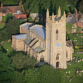 St Andrew's Church Whissendine Rutland aerial photograph
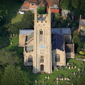 St Andrew's Church Whissendine Rutland aerial photograph
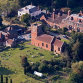 St Andrews Church Quatt Shropshire from the air
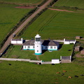 St Bees Lighhouse Cumbria from the air
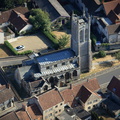 St Benedict's Church Glastonbury from the air
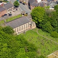 St David's Church Haigh Wigan aerial photo
 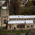 St Editha Church Tamworth from the air
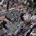 St Georges Shopping Centre Preston town centre PR1 aerial photo
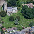 St James's Church Avebury aerial photograph
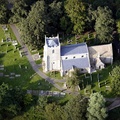 St John the Baptist Church, Holywell, Cambridgeshire from the air
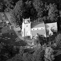 St John the Baptist Church, Holywell, Cambridgeshire from the air
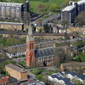 St John the Divine, Kennington, Anglican church Kennington London from the air
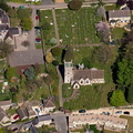 St Martin's Church, Bladon from the air
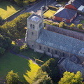 St Mary & St Michael's Catholic Church, Garstang, Lancashire aerial photo
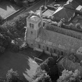 St Mary & St Michael's Catholic Church, Garstang, Lancashire aerial photo
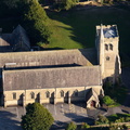 St Mary & St Michael's Catholic Church, Garstang, Lancashire aerial photo
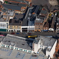 St Mary's Butts Reading RG1 2LG, aerial photograph
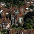 St Mary's Parish Church Rye aerial photo
 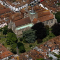 St Mary's Parish Church Rye aerial photo
  St Mary's Parish Church Rye aerial photo
 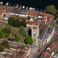 St Mary’s Church, Henley-on-Thames from the air
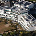 St Moritz Hotel Trebetherick Cornwall from the air
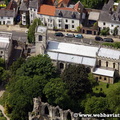 St Olaves church York Yorkshire England UK aerial photograph
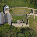 St Paul's Monastery, Jarrow from the air
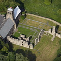 St Paul's Monastery, Jarrow from the air
 St Paul's Monastery, Jarrow from the air
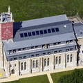 St Pauls Church Bury from the air
 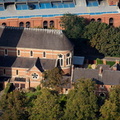 St Peter's Church Leamington Spa from the air
 St Peter's Church Leamington Spa from the air
 St Stephen's shopping centre Hull aerial photograph
 St Thomas à Becket Church on Romney Marsh aerial photo
  St Thomas's Church Newcastle from the air
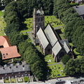 St Thomas's Church Warrington from the air
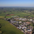 St. Albans Road Industrial Estate, Stafford from the air
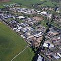 St. Albans Road Industrial Estate, Stafford from the air
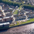 St. George's Quay Lancaster aerial photo
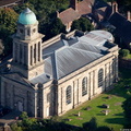 St. Mary Magdalene's Church, Bridgnorth from the air
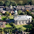 St. Mary Magdalene's Church, Bridgnorth from the air
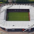 St. Mary's Stadium in Southampton, aerial photograph
 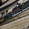 steam locomotive Planet from the air
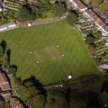 Stirchley Cricket Ground from the air
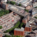 Stockport Bus Station from the air
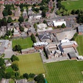 Stockport Grammar School Buxton Rd Great Moor Stockport from the air
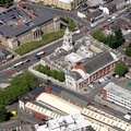 Stockport Town Hall Stockport from the air
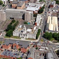 Stockport Town Hall Stockport from the air
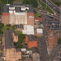 Stow College Glasgow from the air
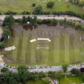 Stratford upon Avon during the floods of 2007 aerial photo
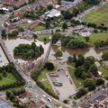 Stratford upon Avon during the floods of 2007 aerial photo
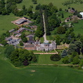 Studley Castle from the air
 Studley Castle from the air
 summit of Mount Snowdon Wales UK, Wales from the air
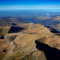 summit of Mount Snowdon Wales UK, Wales panorama from the air
 Sunderland Bridge, from the air
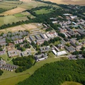 Sussex University from the air
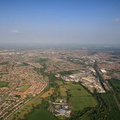 Swindon Panoramic aerial photograph
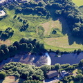 Tadcaster Castle aerial photograph
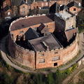 Tamworth Castle from the air
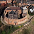 Tamworth Castle from the air
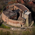 Tamworth Castle from the air
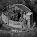 Tamworth Castle from the air
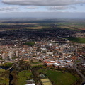 Tamworth from the air
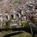 Tamworth from the air
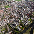 Tamworth from the air
 Tenby Pembrokeshire Wales aerial photograph
 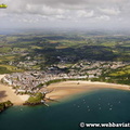 Tenby Pembrokeshire Wales aerial photograph
  Tenby Pembrokeshire Wales aerial photograph
  Tenby Pembrokeshire Wales aerial photograph
  Tenby Pembrokeshire Wales aerial photograph
  Tenby Pembrokeshire Wales aerial photograph
 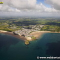 Tenby Pembrokeshire Wales aerial photograph
  tennis courts at Anchorsholme Park Thornton-Cleveleys from the air
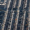 terraced houses in Newcastle upon Tyne from the air
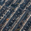 terraced housing in Newcastle upon Tyne from the air
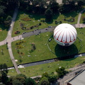 tethered balloon at Lower Gardens Bournemouth from the air


 , Jonathan C.K.Webb.